Ingrebourne River south of Upminster
Introduction
The photograph on this page of Ingrebourne River south of Upminster by David Kemp as part of the Geograph project.
The Geograph project started in 2005 with the aim of publishing, organising and preserving representative images for every square kilometre of Great Britain, Ireland and the Isle of Man.

There are currently over 7.5m images from over 14,400 individuals and you can help contribute to the project by visiting https://www.geograph.org.uk
Ingrebourne River south of Upminster
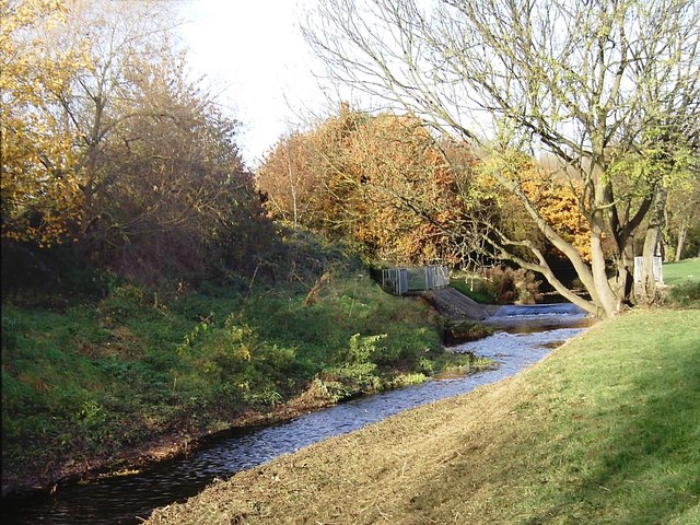
Image: © David Kemp Taken: 7 Nov 2008
The Ingrebourne rises near Brentwood and enters the Thames at Rainham having provided a rural corridor between the London suburbs of Emerson Park, Cranham, Upminster and Hornchurch en route. Taken from the London Loop footpath.
Images are licensed for reuse under creativecommons.org/licenses/by-sa/2.0
Image Location
Latitude
51.554685
Longitude
0.237538