Rumburgh and St. Michael's Village Hall
Introduction
The photograph on this page of Rumburgh and St. Michael's Village Hall by Ian Capper as part of the Geograph project.
The Geograph project started in 2005 with the aim of publishing, organising and preserving representative images for every square kilometre of Great Britain, Ireland and the Isle of Man.

There are currently over 7.5m images from over 14,400 individuals and you can help contribute to the project by visiting https://www.geograph.org.uk
Rumburgh and St. Michael's Village Hall
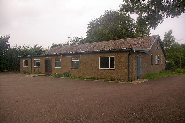
Image: © Ian Capper Taken: 3 Aug 2008
Dating from 1937 and constructed out of a WWI hut, it was built for the use of the residents of Rumburgh, and managed by St Michaels Church, hence the combined title.
Images are licensed for reuse under creativecommons.org/licenses/by-sa/2.0
Image Location
Latitude
52.380965
Longitude
1.444291