2008 : East from Down Road
Introduction
The photograph on this page of 2008 : East from Down Road by Maurice Pullin as part of the Geograph project.
The Geograph project started in 2005 with the aim of publishing, organising and preserving representative images for every square kilometre of Great Britain, Ireland and the Isle of Man.

There are currently over 7.5m images from over 14,400 individuals and you can help contribute to the project by visiting https://www.geograph.org.uk
2008 : East from Down Road
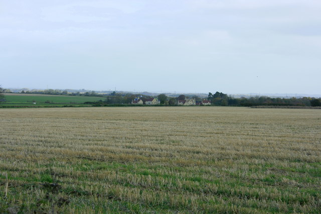
Image: © Maurice Pullin Taken: 7 Nov 2008
Home Farm and Upper Farm at Upper Wraxall are on the other side of the field. An attempt to give an idea of the open nature of the farmland north and east of Marshfield.
Images are licensed for reuse under creativecommons.org/licenses/by-sa/2.0
Image Location
Latitude
51.466484
Longitude
-2.296357