2008 : The A420 east of Marshfield
Introduction
The photograph on this page of 2008 : The A420 east of Marshfield by Maurice Pullin as part of the Geograph project.
The Geograph project started in 2005 with the aim of publishing, organising and preserving representative images for every square kilometre of Great Britain, Ireland and the Isle of Man.

There are currently over 7.5m images from over 14,400 individuals and you can help contribute to the project by visiting https://www.geograph.org.uk
2008 : The A420 east of Marshfield
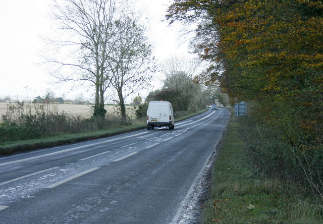
Image: © Maurice Pullin Taken: 7 Nov 2008
Heading toward Chippenham. The old Bristol to Chippenham coach road passed this way. Obliterated long ago by the modern A420.
Images are licensed for reuse under creativecommons.org/licenses/by-sa/2.0
Image Location
Latitude
51.463688
Longitude
-2.29965