Farm road to Bryngwyn Farm
Introduction
The photograph on this page of Farm road to Bryngwyn Farm by Eric Jones as part of the Geograph project.
The Geograph project started in 2005 with the aim of publishing, organising and preserving representative images for every square kilometre of Great Britain, Ireland and the Isle of Man.

There are currently over 7.5m images from over 14,400 individuals and you can help contribute to the project by visiting https://www.geograph.org.uk
Farm road to Bryngwyn Farm
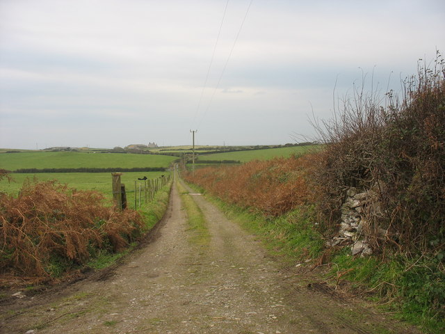
Image: © Eric Jones Taken: 4 Nov 2008
There are public rights of way along this road which eventually leads back towards Ty Croes station.
Images are licensed for reuse under creativecommons.org/licenses/by-sa/2.0
Image Location
Latitude
53.213252
Longitude
-4.481116