Looking down on Soudley
Introduction
The photograph on this page of Looking down on Soudley by Eric Soons as part of the Geograph project.
The Geograph project started in 2005 with the aim of publishing, organising and preserving representative images for every square kilometre of Great Britain, Ireland and the Isle of Man.

There are currently over 7.5m images from over 14,400 individuals and you can help contribute to the project by visiting https://www.geograph.org.uk
Looking down on Soudley
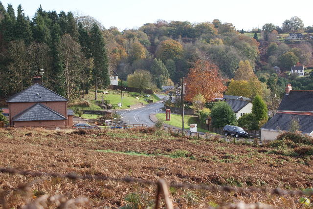
Image: © Eric Soons Taken: 7 Nov 2008
The bracken field is sometimes used for training motorcyclists along a circular grass track. The T-junction by the telephone box leads off to Littledean on the left and on towards Blakeney and the A48.
Images are licensed for reuse under creativecommons.org/licenses/by-sa/2.0
Image Location
Latitude
51.792098
Longitude
-2.497706