North Ealing: Pitshanger Park
Introduction
The photograph on this page of North Ealing: Pitshanger Park by Nigel Cox as part of the Geograph project.
The Geograph project started in 2005 with the aim of publishing, organising and preserving representative images for every square kilometre of Great Britain, Ireland and the Isle of Man.

There are currently over 7.5m images from over 14,400 individuals and you can help contribute to the project by visiting https://www.geograph.org.uk
North Ealing: Pitshanger Park
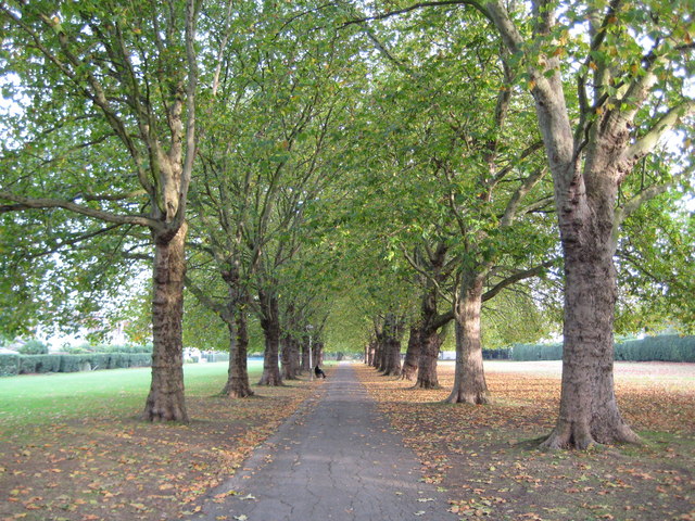
Image: © Nigel Cox Taken: 10 Oct 2008
Pitts' Hanger, as it is shown on the Ordnance Survey map of 1868, was a farm that was eventually demolished in 1908 during the wholesale residential development that occurred in this area around that time. The name is remembered in Pitshanger Lane and in this park development in the former fields of the farm. Certainly the layout of this park is shown in the Ordnance Survey map of 1920. The trees either side of the avenue are London planes.
Images are licensed for reuse under creativecommons.org/licenses/by-sa/2.0
Image Location
Latitude
51.526478
Longitude
-0.318733