Houses at Bucklerburn, Peterculter
Introduction
The photograph on this page of Houses at Bucklerburn, Peterculter by Alan Findlay as part of the Geograph project.
The Geograph project started in 2005 with the aim of publishing, organising and preserving representative images for every square kilometre of Great Britain, Ireland and the Isle of Man.

There are currently over 7.5m images from over 14,400 individuals and you can help contribute to the project by visiting https://www.geograph.org.uk
Houses at Bucklerburn, Peterculter
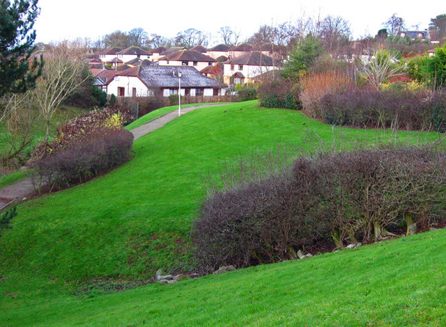
Image: © Alan Findlay Taken: 8 Dec 2007
Built on farmland, the original farmhouse can be seen top right.
Images are licensed for reuse under creativecommons.org/licenses/by-sa/2.0
Image Location
Latitude
57.103997
Longitude
-2.270039