The tree covered ruins of Bryn-Cian-bach
Introduction
The photograph on this page of The tree covered ruins of Bryn-Cian-bach by Eric Jones as part of the Geograph project.
The Geograph project started in 2005 with the aim of publishing, organising and preserving representative images for every square kilometre of Great Britain, Ireland and the Isle of Man.

There are currently over 7.5m images from over 14,400 individuals and you can help contribute to the project by visiting https://www.geograph.org.uk
The tree covered ruins of Bryn-Cian-bach
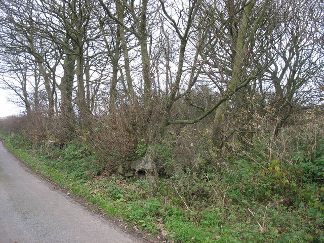
Image: © Eric Jones Taken: 4 Nov 2008
The name Bryn-Cian-bach disappears from the OS map after 1900, which suggests that the cottage was possibly abandoned more than a hundred years ago
Images are licensed for reuse under creativecommons.org/licenses/by-sa/2.0
Image Location
Latitude
53.216312
Longitude
-4.476649