Crop of maize
Introduction
The photograph on this page of Crop of maize by Jonathan Billinger as part of the Geograph project.
The Geograph project started in 2005 with the aim of publishing, organising and preserving representative images for every square kilometre of Great Britain, Ireland and the Isle of Man.

There are currently over 7.5m images from over 14,400 individuals and you can help contribute to the project by visiting https://www.geograph.org.uk
Crop of maize
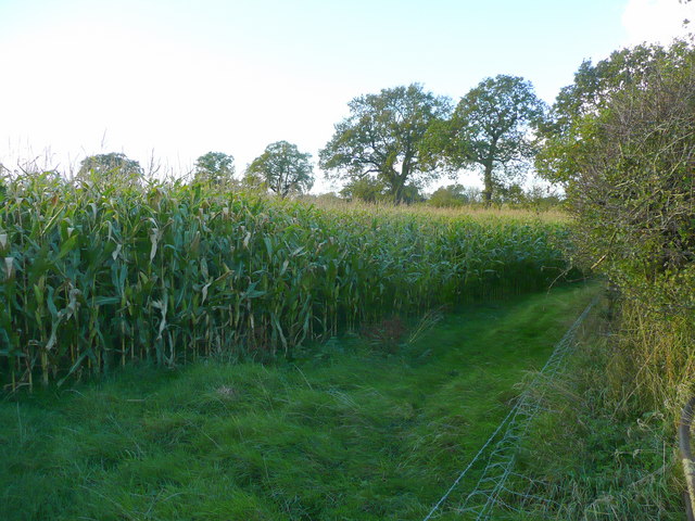
Image: © Jonathan Billinger Taken: 21 Oct 2008
Looking to the west of the road from Wrenpark to Gorsty Hill.
Images are licensed for reuse under creativecommons.org/licenses/by-sa/2.0
Image Location


Leaflet Map data © OpenStreetMap
Latitude
52.869737
Longitude
-1.862394