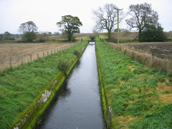
Aqueduct near Thornham Farm
Introduction
The photograph on this page of Aqueduct near Thornham Farm by Les Hull as part of the Geograph project.
The Geograph project started in 2005 with the aim of publishing, organising and preserving representative images for every square kilometre of Great Britain, Ireland and the Isle of Man.
There are currently over 7.5m images from over 14,400 individuals and you can help contribute to the project by visiting https://www.geograph.org.uk

Image: © Les Hull Taken: 5 Nov 2008
This aqueduct looks more like a canal and is part of the intricate network of watercourses/aqueducts that link Reservoirs at Colt Crag, Hallington and Whittle Dene and all were built in the later part of the 1800s. This aqueduct is taking water to the Whittle Dene Reservoirs. Most of these aqueducts are open water courses but in some areas tunnels are used to ensure that farming activities can still be carried out. In the distance you can see a tunnel where the water flows beneath arable land.

