Christchurch Rd, Pokesdown, Bournemouth
Introduction
The photograph on this page of Christchurch Rd, Pokesdown, Bournemouth by Nigel Mykura as part of the Geograph project.
The Geograph project started in 2005 with the aim of publishing, organising and preserving representative images for every square kilometre of Great Britain, Ireland and the Isle of Man.

There are currently over 7.5m images from over 14,400 individuals and you can help contribute to the project by visiting https://www.geograph.org.uk
Christchurch Rd, Pokesdown, Bournemouth
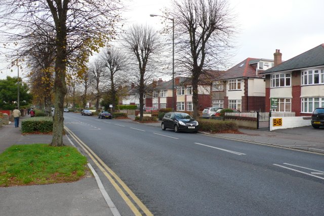
Image: © Nigel Mykura Taken: 4 Nov 2008
This road used to be the main route east from the centre of Bournemouth before large dual carriageway was built. This is looking SW near Warnford Rd.
Images are licensed for reuse under creativecommons.org/licenses/by-sa/2.0
Image Location
Latitude
50.736644
Longitude
-1.813461