Under the Greenford Roundabout
Introduction
The photograph on this page of Under the Greenford Roundabout by Phillip Perry as part of the Geograph project.
The Geograph project started in 2005 with the aim of publishing, organising and preserving representative images for every square kilometre of Great Britain, Ireland and the Isle of Man.

There are currently over 7.5m images from over 14,400 individuals and you can help contribute to the project by visiting https://www.geograph.org.uk
Under the Greenford Roundabout
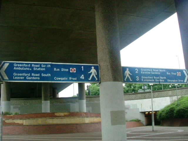
Image: © Phillip Perry Taken: 7 Jun 2008
Underneath both the Greenford Roundabout & Flyover slap bang in the centre of the 'island'.
Images are licensed for reuse under creativecommons.org/licenses/by-sa/2.0
Image Location
Latitude
51.53613
Longitude
-0.346206