Roundabout at Alkerton, Eastington
Introduction
The photograph on this page of Roundabout at Alkerton, Eastington by Phil Champion as part of the Geograph project.
The Geograph project started in 2005 with the aim of publishing, organising and preserving representative images for every square kilometre of Great Britain, Ireland and the Isle of Man.

There are currently over 7.5m images from over 14,400 individuals and you can help contribute to the project by visiting https://www.geograph.org.uk
Roundabout at Alkerton, Eastington
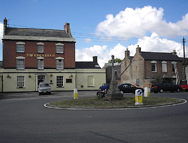
Image: © Phil Champion Taken: 20 Aug 2005
At the junction of Alkerton Road and Bath Road. I don't know anything about the stone cross, but it clearly pre-dates the roundabout. The 'King's Head' on the south side of the junction is a late-18th or early-19th-century brick house with a cornice and a parapet, a doorway with a fan-light, and a porch with Doric columns; it was a public house by 1834.
Images are licensed for reuse under creativecommons.org/licenses/by-sa/2.0
Image Location
Latitude
51.745938
Longitude
-2.328745