Waylands Place
Introduction
The photograph on this page of Waylands Place by Peter Facey as part of the Geograph project.
The Geograph project started in 2005 with the aim of publishing, organising and preserving representative images for every square kilometre of Great Britain, Ireland and the Isle of Man.

There are currently over 7.5m images from over 14,400 individuals and you can help contribute to the project by visiting https://www.geograph.org.uk
Waylands Place
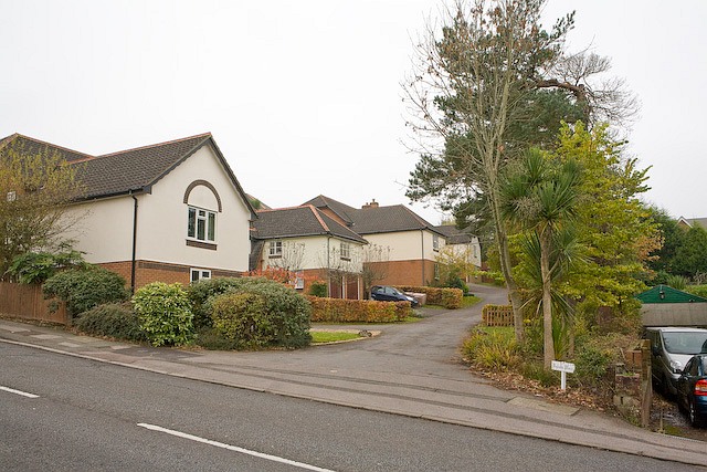
Image: © Peter Facey Taken: 4 Nov 2008
A newish residential cul de sac the end of which affords access to private grass land on Sunday's Hill.
Images are licensed for reuse under creativecommons.org/licenses/by-sa/2.0
Image Location
Latitude
50.903632
Longitude
-1.309642