Boundary Acre, Dodwell Lane
Introduction
The photograph on this page of Boundary Acre, Dodwell Lane by Peter Facey as part of the Geograph project.
The Geograph project started in 2005 with the aim of publishing, organising and preserving representative images for every square kilometre of Great Britain, Ireland and the Isle of Man.

There are currently over 7.5m images from over 14,400 individuals and you can help contribute to the project by visiting https://www.geograph.org.uk
Boundary Acre, Dodwell Lane
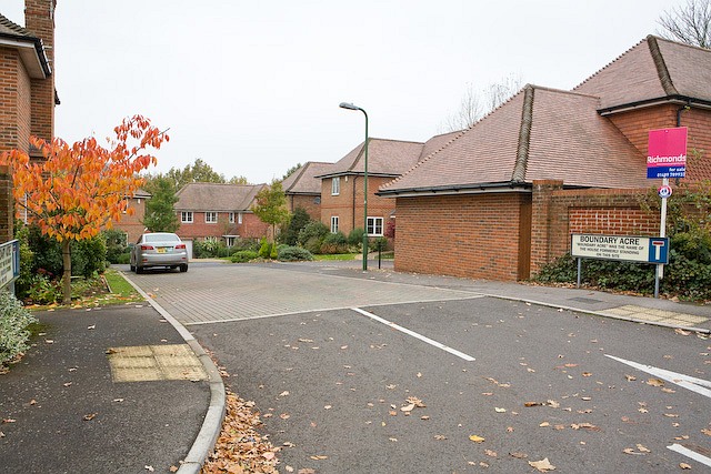
Image: © Peter Facey Taken: 4 Nov 2008
The unusual road name sign, perhaps required by the person who sold the land for this development, adds '"Boundary Acre" was the name of the house formerly standing on this site'.
Images are licensed for reuse under creativecommons.org/licenses/by-sa/2.0
Image Location
Latitude
50.902106
Longitude
-1.310091