Pant-Mawr, Upper Forest
Introduction
The photograph on this page of Pant-Mawr, Upper Forest by Dan Gregory as part of the Geograph project.
The Geograph project started in 2005 with the aim of publishing, organising and preserving representative images for every square kilometre of Great Britain, Ireland and the Isle of Man.

There are currently over 7.5m images from over 14,400 individuals and you can help contribute to the project by visiting https://www.geograph.org.uk
Pant-Mawr, Upper Forest
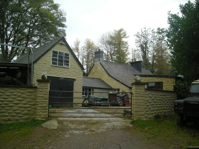
Image: © Dan Gregory Taken: 1 Nov 2008
This cottage stands in a secluded clearing alongside a track into the forest, formerly part of the Falcondale Estate, which takes up most of this grid-square.
Images are licensed for reuse under creativecommons.org/licenses/by-sa/2.0
Image Location


Leaflet Map data © OpenStreetMap
Latitude
52.122854
Longitude
-4.083922