S.T.E.P. at Stocksbridge
Introduction
The photograph on this page of S.T.E.P. at Stocksbridge by Terry Robinson as part of the Geograph project.
The Geograph project started in 2005 with the aim of publishing, organising and preserving representative images for every square kilometre of Great Britain, Ireland and the Isle of Man.

There are currently over 7.5m images from over 14,400 individuals and you can help contribute to the project by visiting https://www.geograph.org.uk
S.T.E.P. at Stocksbridge
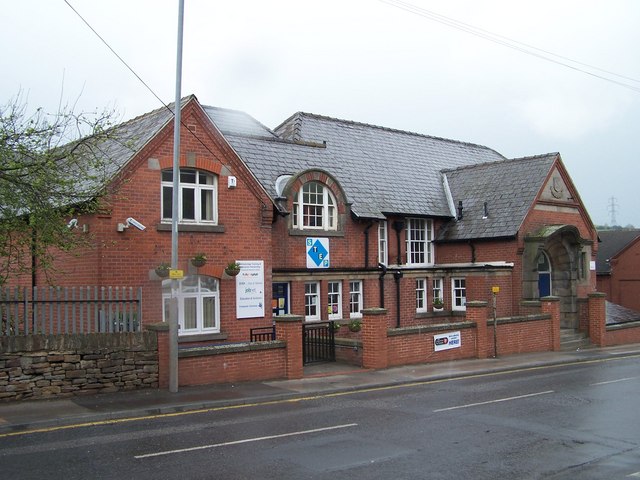
Image: © Terry Robinson Taken: 30 Apr 2008
Another view of the Institute ... this time without the Aerial on Hunshelf Bank! Image
Images are licensed for reuse under creativecommons.org/licenses/by-sa/2.0
Image Location
Latitude
53.482074
Longitude
-1.592049