M20 near Beachborough
Introduction
The photograph on this page of M20 near Beachborough by Oast House Archive as part of the Geograph project.
The Geograph project started in 2005 with the aim of publishing, organising and preserving representative images for every square kilometre of Great Britain, Ireland and the Isle of Man.

There are currently over 7.5m images from over 14,400 individuals and you can help contribute to the project by visiting https://www.geograph.org.uk
M20 near Beachborough
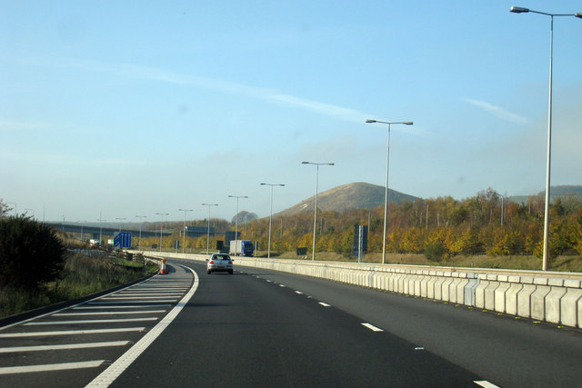
Image: © Oast House Archive Taken: 4 Nov 2008
Summerhouse Hill to rear
Images are licensed for reuse under creativecommons.org/licenses/by-sa/2.0
Image Location


Leaflet Map data © OpenStreetMap
Latitude
51.093461
Longitude
1.105299