Low Hayrake in the Swin Hope valley
Introduction
The photograph on this page of Low Hayrake in the Swin Hope valley by Mike Quinn as part of the Geograph project.
The Geograph project started in 2005 with the aim of publishing, organising and preserving representative images for every square kilometre of Great Britain, Ireland and the Isle of Man.

There are currently over 7.5m images from over 14,400 individuals and you can help contribute to the project by visiting https://www.geograph.org.uk
Low Hayrake in the Swin Hope valley
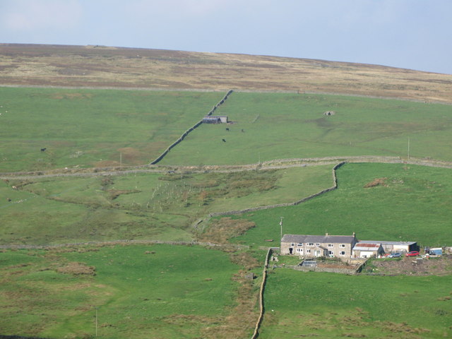
Image: © Mike Quinn Taken: 27 Sep 2008
The farm is on the opposite side of the valley from Image The Image can be seen on the hillside (directly above the farm buildings).
Images are licensed for reuse under creativecommons.org/licenses/by-sa/2.0
Image Location
Latitude
54.826029
Longitude
-2.256012