Moneyrow Green: Jolly Gardener public house
Introduction
The photograph on this page of Moneyrow Green: Jolly Gardener public house by Nigel Cox as part of the Geograph project.
The Geograph project started in 2005 with the aim of publishing, organising and preserving representative images for every square kilometre of Great Britain, Ireland and the Isle of Man.

There are currently over 7.5m images from over 14,400 individuals and you can help contribute to the project by visiting https://www.geograph.org.uk
Moneyrow Green: Jolly Gardener public house
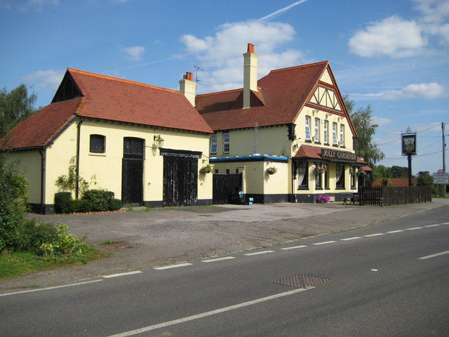
Image: © Nigel Cox Taken: 14 Sep 2008
Described as a beer house on the 1900 Edition of the Ordnance Survey mapping, but absent from the 1881 Edition, the Jolly Gardener stands on the B3024 road at its junction with Moneyrow Green.
Images are licensed for reuse under creativecommons.org/licenses/by-sa/2.0
Image Location
Latitude
51.483715
Longitude
-0.720973