Paley Street: The Cut
Introduction
The photograph on this page of Paley Street: The Cut by Nigel Cox as part of the Geograph project.
The Geograph project started in 2005 with the aim of publishing, organising and preserving representative images for every square kilometre of Great Britain, Ireland and the Isle of Man.

There are currently over 7.5m images from over 14,400 individuals and you can help contribute to the project by visiting https://www.geograph.org.uk
Paley Street: The Cut
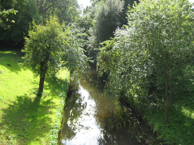
Image: © Nigel Cox Taken: 14 Sep 2008
The Cut rises to the north-east of Bracknell and then flows west, then north then north-eastwards through Paley Street towards Bray and the River Thames. It is seen here looking upstream from the B3024 road bridge.
Images are licensed for reuse under creativecommons.org/licenses/by-sa/2.0
Image Location
Latitude
51.478434
Longitude
-0.748193