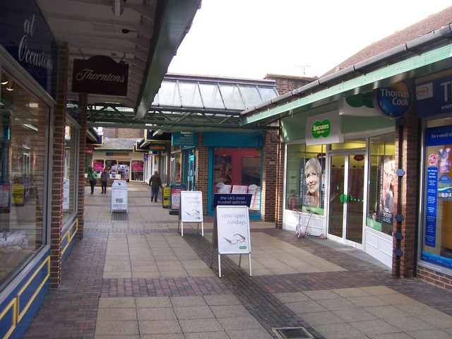
Covered Shopping Area - Bicester
Introduction
The photograph on this page of Covered Shopping Area - Bicester by Colin Babb as part of the Geograph project.
The Geograph project started in 2005 with the aim of publishing, organising and preserving representative images for every square kilometre of Great Britain, Ireland and the Isle of Man.
There are currently over 7.5m images from over 14,400 individuals and you can help contribute to the project by visiting https://www.geograph.org.uk

Image: © Colin Babb Taken: 30 Oct 2008
A peculiar little alley of shops. I cannot recall the name. Between Sheep St and the car park. The builders did not seem to have made up their mind as to whether it was covered or open, so they made it both. Looking slightly down at heel. Apparently called Crown Walk. Many thanks to Lindsay who E-mailed me.

