Aerial view of SP5821
Introduction
The photograph on this page of Aerial view of SP5821 by Steve Newman as part of the Geograph project.
The Geograph project started in 2005 with the aim of publishing, organising and preserving representative images for every square kilometre of Great Britain, Ireland and the Isle of Man.

There are currently over 7.5m images from over 14,400 individuals and you can help contribute to the project by visiting https://www.geograph.org.uk
Aerial view of SP5821
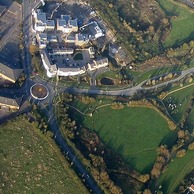
Image: © Steve Newman Taken: 17 Nov 2005
Mallards Way, Parkland Place, Wren Way and the Stone Circle can all be seen in this photo of the roundabout on the B4100. (Courtesy John Broad, LVCA http://www.langfordlife.org.uk )
Images are licensed for reuse under creativecommons.org/licenses/by-sa/2.0
Image Location
Latitude
51.89165
Longitude
-1.145521