Louth to Mablethorpe railway trackbed
Introduction
The photograph on this page of Louth to Mablethorpe railway trackbed by John Beal as part of the Geograph project.
The Geograph project started in 2005 with the aim of publishing, organising and preserving representative images for every square kilometre of Great Britain, Ireland and the Isle of Man.

There are currently over 7.5m images from over 14,400 individuals and you can help contribute to the project by visiting https://www.geograph.org.uk
Louth to Mablethorpe railway trackbed
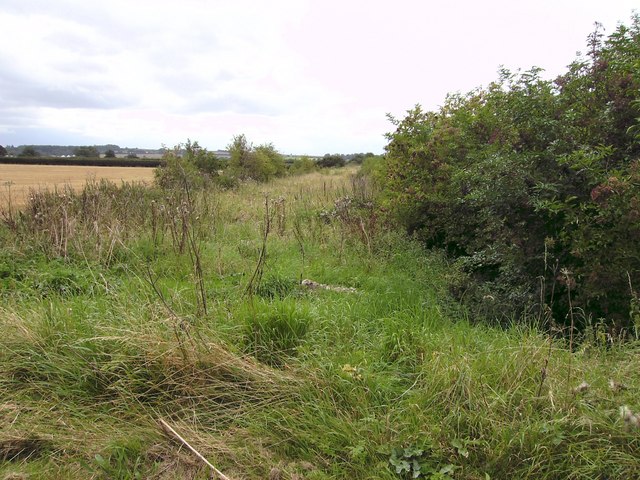
Image: © John Beal Taken: 28 Aug 2007
Taken from the former level crossing as seen in Image and looking west showing one of the few remains of the northern section of the "Mablethorpe Loop", which closed in 1960.
Images are licensed for reuse under creativecommons.org/licenses/by-sa/2.0
Image Location


Leaflet Map data © OpenStreetMap
Latitude
53.35832
Longitude
0.038013