Looking up Hall Road, Kesgrave
Introduction
The photograph on this page of Looking up Hall Road, Kesgrave by Nick Mutton 01329 000000 as part of the Geograph project.
The Geograph project started in 2005 with the aim of publishing, organising and preserving representative images for every square kilometre of Great Britain, Ireland and the Isle of Man.

There are currently over 7.5m images from over 14,400 individuals and you can help contribute to the project by visiting https://www.geograph.org.uk
Looking up Hall Road, Kesgrave
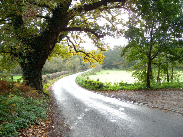
Image: © Nick Mutton 01329 000000 Taken: 2 Nov 2008
The field on the right-hand side is what was Kesgrave Hall School's rugby field. The entrance just before it on the right was the back entrance to the School but was just a track.
Images are licensed for reuse under creativecommons.org/licenses/by-sa/2.0
Image Location
Latitude
52.072464
Longitude
1.259514