A27 near Middle Farm, Firle
Introduction
The photograph on this page of A27 near Middle Farm, Firle by Kevin Gordon as part of the Geograph project.
The Geograph project started in 2005 with the aim of publishing, organising and preserving representative images for every square kilometre of Great Britain, Ireland and the Isle of Man.

There are currently over 7.5m images from over 14,400 individuals and you can help contribute to the project by visiting https://www.geograph.org.uk
A27 near Middle Farm, Firle
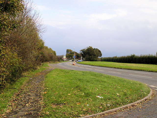
Image: © Kevin Gordon Taken: 2 Nov 2008
Middle Farm is in the distance on the corner. Picture taken from near Burgh Buildings.
Images are licensed for reuse under creativecommons.org/licenses/by-sa/2.0
Image Location
Latitude
50.851893
Longitude
0.10982