Merrow Park
Introduction
The photograph on this page of Merrow Park by Colin Smith as part of the Geograph project.
The Geograph project started in 2005 with the aim of publishing, organising and preserving representative images for every square kilometre of Great Britain, Ireland and the Isle of Man.

There are currently over 7.5m images from over 14,400 individuals and you can help contribute to the project by visiting https://www.geograph.org.uk
Merrow Park
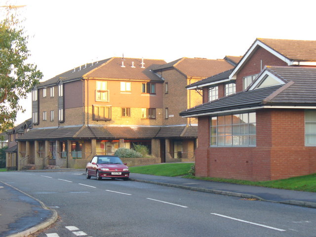
Image: © Colin Smith Taken: 2 Nov 2008
At the centre of this 1980s Guildford housing estate. On the left is a block of flats with local shops at ground level. On the right is Merrow Park Surgery. The street is Kingfisher Drive.
Images are licensed for reuse under creativecommons.org/licenses/by-sa/2.0
Image Location
Latitude
51.251094
Longitude
-0.529981