Dual use path, Wandsworth Common
Introduction
The photograph on this page of Dual use path, Wandsworth Common by Derek Harper as part of the Geograph project.
The Geograph project started in 2005 with the aim of publishing, organising and preserving representative images for every square kilometre of Great Britain, Ireland and the Isle of Man.

There are currently over 7.5m images from over 14,400 individuals and you can help contribute to the project by visiting https://www.geograph.org.uk
Dual use path, Wandsworth Common
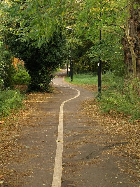
Image: © Derek Harper Taken: 25 Oct 2008
This path runs along the edge of the common behind Routh Road, linking Lyford Road with Trinity Road.
Images are licensed for reuse under creativecommons.org/licenses/by-sa/2.0
Image Location
Latitude
51.446053
Longitude
-0.172314