Footbridge to Hoveringham
Introduction
The photograph on this page of Footbridge to Hoveringham by Tim Heaton as part of the Geograph project.
The Geograph project started in 2005 with the aim of publishing, organising and preserving representative images for every square kilometre of Great Britain, Ireland and the Isle of Man.

There are currently over 7.5m images from over 14,400 individuals and you can help contribute to the project by visiting https://www.geograph.org.uk
Footbridge to Hoveringham
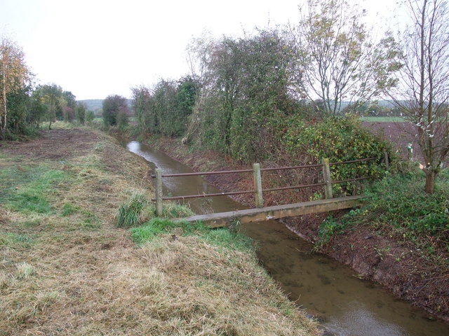
Image: © Tim Heaton Taken: 1 Nov 2008
The bridleway from Gibsmere (left) branches off as a footpath to Hoveringham over the bridge. The recent dredging of the ditch testifies to the importance of drainage on this floodplain of the Trent.
Images are licensed for reuse under creativecommons.org/licenses/by-sa/2.0
Image Location
Latitude
53.019004
Longitude
-0.951538