Road junction approaching Bleasby
Introduction
The photograph on this page of Road junction approaching Bleasby by Tim Heaton as part of the Geograph project.
The Geograph project started in 2005 with the aim of publishing, organising and preserving representative images for every square kilometre of Great Britain, Ireland and the Isle of Man.

There are currently over 7.5m images from over 14,400 individuals and you can help contribute to the project by visiting https://www.geograph.org.uk
Road junction approaching Bleasby
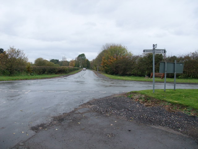
Image: © Tim Heaton Taken: 1 Nov 2008
Bleasby ahead, Gibsmere left (no through road), Hazelford behind (no through road), and Fiskerton to the right. The narrow road from Fiskerton was surprisingly busy, and not safe to walk along.
Images are licensed for reuse under creativecommons.org/licenses/by-sa/2.0
Image Location
Latitude
53.034867
Longitude
-0.92595