Holy Trinity Church, Bradpole
Introduction
The photograph on this page of Holy Trinity Church, Bradpole by Ian Capper as part of the Geograph project.
The Geograph project started in 2005 with the aim of publishing, organising and preserving representative images for every square kilometre of Great Britain, Ireland and the Isle of Man.

There are currently over 7.5m images from over 14,400 individuals and you can help contribute to the project by visiting https://www.geograph.org.uk
Holy Trinity Church, Bradpole
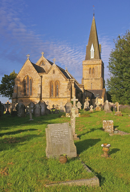
Image: © Ian Capper Taken: 16 Jul 2008
This Grade II listed church was built in 1845-6 on a different site to the original church, which was apparently "in a dilapidated state and totally inadequate to the wants of the population". The spire was added to the tower in 1863 and the church was enlarged in 1897 with the addition of a north-east chapel/vestry.
Images are licensed for reuse under creativecommons.org/licenses/by-sa/2.0
Image Location
Latitude
50.745941
Longitude
-2.737626