Public bridleway to Deanoak Bridge
Introduction
The photograph on this page of Public bridleway to Deanoak Bridge by Hugh Craddock as part of the Geograph project.
The Geograph project started in 2005 with the aim of publishing, organising and preserving representative images for every square kilometre of Great Britain, Ireland and the Isle of Man.

There are currently over 7.5m images from over 14,400 individuals and you can help contribute to the project by visiting https://www.geograph.org.uk
Public bridleway to Deanoak Bridge
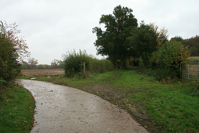
Image: © Hugh Craddock Taken: 1 Nov 2008
Public bridleway Salfords & Sidlow 424 branches off to the right down a short green lane, before arriving at the farm drive to Stumblehole. Public footpath Salfords & Sidlow 422a follows the concrete drive round to the left, towards Bures Manor and Irons Bottom. The borough boundary between Reigate and Banstead and Mole Valley here follows the middle of the green lane.
Images are licensed for reuse under creativecommons.org/licenses/by-sa/2.0
Image Location
Latitude
51.205882
Longitude
-0.226502