Footpath between Thornton Hough and Clatterbridge
Introduction
The photograph on this page of Footpath between Thornton Hough and Clatterbridge by David Quinn as part of the Geograph project.
The Geograph project started in 2005 with the aim of publishing, organising and preserving representative images for every square kilometre of Great Britain, Ireland and the Isle of Man.

There are currently over 7.5m images from over 14,400 individuals and you can help contribute to the project by visiting https://www.geograph.org.uk
Footpath between Thornton Hough and Clatterbridge
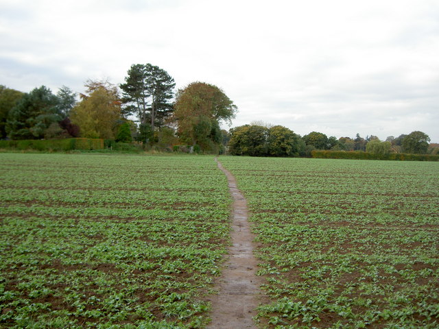
Image: © David Quinn Taken: 1 Nov 2008
From here, the footpath crosses this field and then follows a drive to the main road.
Images are licensed for reuse under creativecommons.org/licenses/by-sa/2.0
Image Location


Leaflet Map data © OpenStreetMap
Latitude
53.324712
Longitude
-3.039796