Private Road/Footpath near Thornton Hough
Introduction
The photograph on this page of Private Road/Footpath near Thornton Hough by David Quinn as part of the Geograph project.
The Geograph project started in 2005 with the aim of publishing, organising and preserving representative images for every square kilometre of Great Britain, Ireland and the Isle of Man.

There are currently over 7.5m images from over 14,400 individuals and you can help contribute to the project by visiting https://www.geograph.org.uk
Private Road/Footpath near Thornton Hough
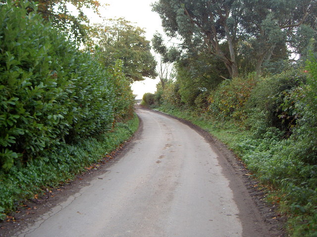
Image: © David Quinn Taken: 1 Nov 2008
The road leads off from one of the Thornton Manor drives and acts as a driveway for a few houses and a farm. The road is also part of a public footpath to Brimstage.
Images are licensed for reuse under creativecommons.org/licenses/by-sa/2.0
Image Location
Latitude
53.322772
Longitude
-3.045754