New housing development - Burnley's old mill
Introduction
The photograph on this page of New housing development - Burnley's old mill by Nigel Auty as part of the Geograph project.
The Geograph project started in 2005 with the aim of publishing, organising and preserving representative images for every square kilometre of Great Britain, Ireland and the Isle of Man.

There are currently over 7.5m images from over 14,400 individuals and you can help contribute to the project by visiting https://www.geograph.org.uk
New housing development - Burnley's old mill
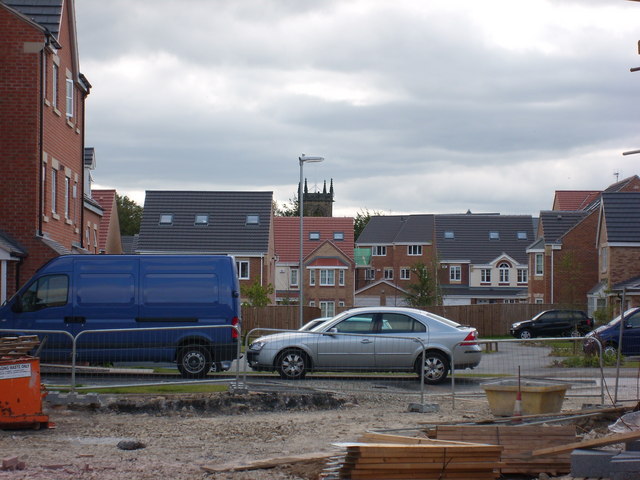
Image: © Nigel Auty Taken: 27 Aug 2007
This is the new housing development being built on the old Burnley's Mill site in Gomersal. This photo was taken in 2007 from Cliffe Lane towards where the mill chimney of this textile factory once stood (as can be seen in Image).
Images are licensed for reuse under creativecommons.org/licenses/by-sa/2.0
Image Location
Latitude
53.731074
Longitude
-1.689988