Paddington Circle and District line tube station
Introduction
The photograph on this page of Paddington Circle and District line tube station by roger geach as part of the Geograph project.
The Geograph project started in 2005 with the aim of publishing, organising and preserving representative images for every square kilometre of Great Britain, Ireland and the Isle of Man.

There are currently over 7.5m images from over 14,400 individuals and you can help contribute to the project by visiting https://www.geograph.org.uk
Paddington Circle and District line tube station
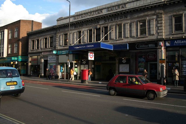
Image: © roger geach Taken: 28 Oct 2008
The Praed Street entrance for the Circle and Tube Lines.
Images are licensed for reuse under creativecommons.org/licenses/by-sa/2.0
Image Location
Latitude
51.515957
Longitude
-0.174417