Redbridge residential street
Introduction
The photograph on this page of Redbridge residential street by Andrew Dann as part of the Geograph project.
The Geograph project started in 2005 with the aim of publishing, organising and preserving representative images for every square kilometre of Great Britain, Ireland and the Isle of Man.

There are currently over 7.5m images from over 14,400 individuals and you can help contribute to the project by visiting https://www.geograph.org.uk
Redbridge residential street
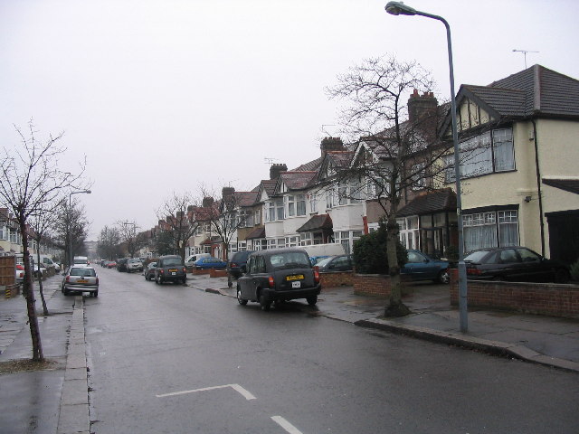
Image: © Andrew Dann Taken: 8 Jan 2006
This residential street, just off The Drive and close to the Eastern Avenue, is typical of much of Redbridge and Gants Hill.
Images are licensed for reuse under creativecommons.org/licenses/by-sa/2.0
Image Location
Latitude
51.574688
Longitude
0.053502