Footpath, Trarrant Gunville
Introduction
The photograph on this page of Footpath, Trarrant Gunville by Maigheach-gheal as part of the Geograph project.
The Geograph project started in 2005 with the aim of publishing, organising and preserving representative images for every square kilometre of Great Britain, Ireland and the Isle of Man.

There are currently over 7.5m images from over 14,400 individuals and you can help contribute to the project by visiting https://www.geograph.org.uk
Footpath, Trarrant Gunville
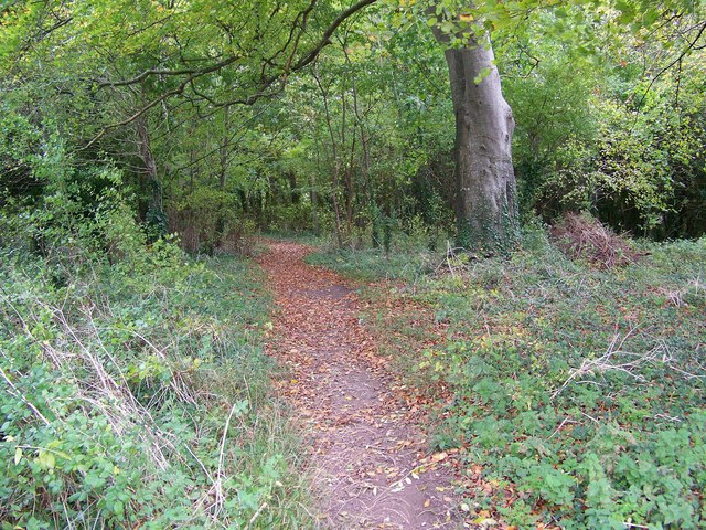
Image: © Maigheach-gheal Taken: 23 Oct 2008
The path passes through a small area of woodland on its way to Chettle.
Images are licensed for reuse under creativecommons.org/licenses/by-sa/2.0
Image Location
Latitude
50.915158
Longitude
-2.103506