Cae Amaethyddol ger Mydroilyn / Field Pasture near Mydroilyn
Introduction
The photograph on this page of Cae Amaethyddol ger Mydroilyn / Field Pasture near Mydroilyn by Ian Medcalf as part of the Geograph project.
The Geograph project started in 2005 with the aim of publishing, organising and preserving representative images for every square kilometre of Great Britain, Ireland and the Isle of Man.

There are currently over 7.5m images from over 14,400 individuals and you can help contribute to the project by visiting https://www.geograph.org.uk
Cae Amaethyddol ger Mydroilyn / Field Pasture near Mydroilyn
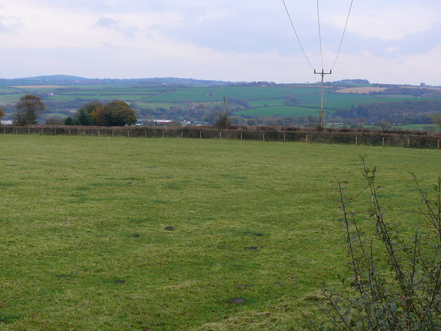
Image: © Ian Medcalf Taken: 30 Oct 2008
Cae Amaethyddol rhwng Pantowen a Rhiwowen ger Mydroilyn / Field Pasture between Pantowen and Rhiwowen near Mydroilyn
Images are licensed for reuse under creativecommons.org/licenses/by-sa/2.0
Image Location
Latitude
52.170229
Longitude
-4.27435