Cedar Ridge, Bracken Place
Introduction
The photograph on this page of Cedar Ridge, Bracken Place by Peter Facey as part of the Geograph project.
The Geograph project started in 2005 with the aim of publishing, organising and preserving representative images for every square kilometre of Great Britain, Ireland and the Isle of Man.

There are currently over 7.5m images from over 14,400 individuals and you can help contribute to the project by visiting https://www.geograph.org.uk
Cedar Ridge, Bracken Place
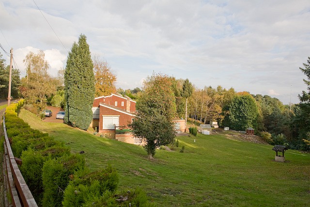
Image: © Peter Facey Taken: 30 Oct 2008
Bracken Place is the road at left which runs parallel to the M3.
Images are licensed for reuse under creativecommons.org/licenses/by-sa/2.0
Image Location
Latitude
50.955575
Longitude
-1.401273