Re-routed coast path sign, Durlston Bay
Introduction
The photograph on this page of Re-routed coast path sign, Durlston Bay by Jim Champion as part of the Geograph project.
The Geograph project started in 2005 with the aim of publishing, organising and preserving representative images for every square kilometre of Great Britain, Ireland and the Isle of Man.

There are currently over 7.5m images from over 14,400 individuals and you can help contribute to the project by visiting https://www.geograph.org.uk
Re-routed coast path sign, Durlston Bay
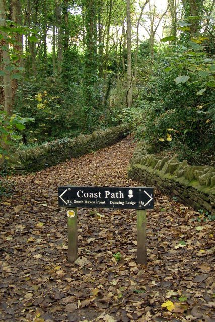
Image: © Jim Champion Taken: 27 Oct 2008
The clifftop promenade once continued straight on across this gully in Durlston bay. The coastal path has been re-routed inland (left) due to a major mudslide in 2001 that carried the path away.
Images are licensed for reuse under creativecommons.org/licenses/by-sa/2.0
Image Location
Latitude
50.601263
Longitude
-1.954449