Middlefield Road meets New Road
Introduction
The photograph on this page of Middlefield Road meets New Road by Ajay Tegala as part of the Geograph project.
The Geograph project started in 2005 with the aim of publishing, organising and preserving representative images for every square kilometre of Great Britain, Ireland and the Isle of Man.

There are currently over 7.5m images from over 14,400 individuals and you can help contribute to the project by visiting https://www.geograph.org.uk
Middlefield Road meets New Road
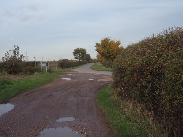
Image: © Ajay Tegala Taken: 29 Oct 2008
Farm track and public footpath Middlefield Road joins onto New Road, which becomes Causeway Lane to the right.
Images are licensed for reuse under creativecommons.org/licenses/by-sa/2.0
Image Location
Latitude
53.058048
Longitude
-0.924628