Scarisbrick New Road
Introduction
The photograph on this page of Scarisbrick New Road by Michael Williamson as part of the Geograph project.
The Geograph project started in 2005 with the aim of publishing, organising and preserving representative images for every square kilometre of Great Britain, Ireland and the Isle of Man.

There are currently over 7.5m images from over 14,400 individuals and you can help contribute to the project by visiting https://www.geograph.org.uk
Scarisbrick New Road
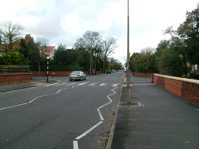
Image: © Michael Williamson Taken: 28 Oct 2008
Looking along Scarisbrick New Road, the main route into the town from the east.
Images are licensed for reuse under creativecommons.org/licenses/by-sa/2.0
Image Location
Latitude
53.638758
Longitude
-2.989727