View of Steeple Claydon Church Spire
Introduction
The photograph on this page of View of Steeple Claydon Church Spire by susan barnard as part of the Geograph project.
The Geograph project started in 2005 with the aim of publishing, organising and preserving representative images for every square kilometre of Great Britain, Ireland and the Isle of Man.

There are currently over 7.5m images from over 14,400 individuals and you can help contribute to the project by visiting https://www.geograph.org.uk
View of Steeple Claydon Church Spire
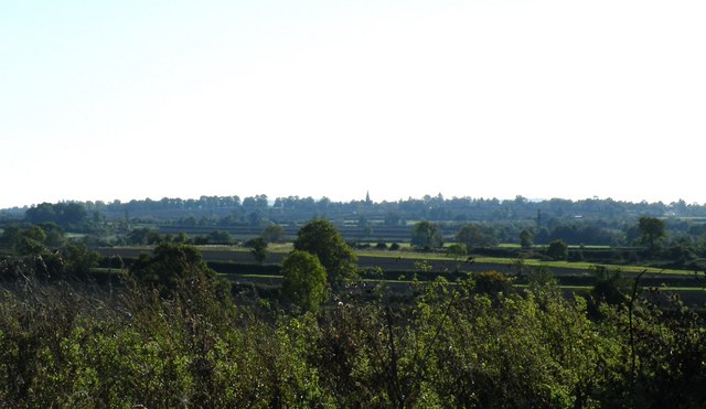
Image: © susan barnard Taken: 11 Oct 2008
Taken from Windmill Piece Woodland in Padbury, includes arable, pasture etc in-between Padbury and Steeple Claydon.
Images are licensed for reuse under creativecommons.org/licenses/by-sa/2.0
Image Location


Leaflet Map data © OpenStreetMap
Latitude
51.96303
Longitude
-0.965143