St. Mary's church, Herbrandston
Introduction
The photograph on this page of St. Mary's church, Herbrandston by Robin Lucas as part of the Geograph project.
The Geograph project started in 2005 with the aim of publishing, organising and preserving representative images for every square kilometre of Great Britain, Ireland and the Isle of Man.

There are currently over 7.5m images from over 14,400 individuals and you can help contribute to the project by visiting https://www.geograph.org.uk
St. Mary's church, Herbrandston
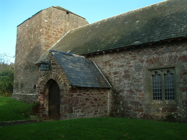
Image: © Robin Lucas Taken: 24 Oct 2008
This church has a rather unusual tower, which has a tiled roof. Records of christenings and burials can be traced back to 1717 (Pembrokeshire Records Office), although the current building was built largely by the local residents of Hakin in 1927.
Images are licensed for reuse under creativecommons.org/licenses/by-sa/2.0
Image Location
Latitude
51.726758
Longitude
-5.084572