River Braan
Introduction
The photograph on this page of River Braan by Richard Webb as part of the Geograph project.
The Geograph project started in 2005 with the aim of publishing, organising and preserving representative images for every square kilometre of Great Britain, Ireland and the Isle of Man.

There are currently over 7.5m images from over 14,400 individuals and you can help contribute to the project by visiting https://www.geograph.org.uk
River Braan
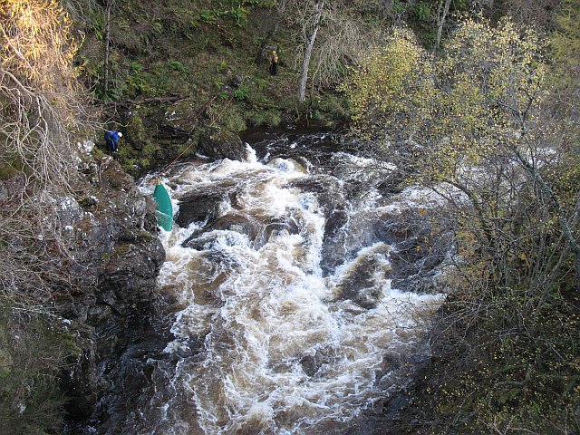
Image: © Richard Webb Taken: 26 Oct 2008
Retrieving a kayak beneath the A822. There was a lot of water in the river, the previous days rain would have spoiled the climbers' fun, but has brought the paddlers out.
Images are licensed for reuse under creativecommons.org/licenses/by-sa/2.0
Image Location
Latitude
56.536429
Longitude
-3.671534