Nidderdale Way approaching Hillend
Introduction
The photograph on this page of Nidderdale Way approaching Hillend by Chris Heaton as part of the Geograph project.
The Geograph project started in 2005 with the aim of publishing, organising and preserving representative images for every square kilometre of Great Britain, Ireland and the Isle of Man.

There are currently over 7.5m images from over 14,400 individuals and you can help contribute to the project by visiting https://www.geograph.org.uk
Nidderdale Way approaching Hillend
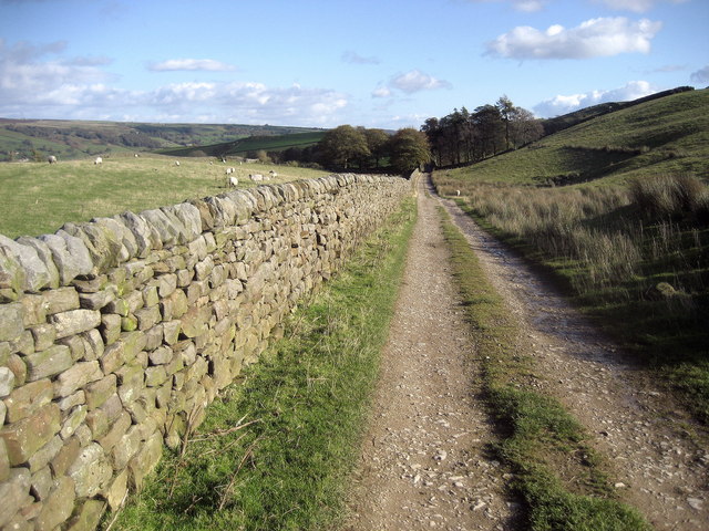
Image: © Chris Heaton Taken: 22 Oct 2008
A fine walk on open track between Brandstone Dub Bridge and Hillend.
Images are licensed for reuse under creativecommons.org/licenses/by-sa/2.0
Image Location


Leaflet Map data © OpenStreetMap
Latitude
54.084537
Longitude
-1.804913