Rotmell
Introduction
The photograph on this page of Rotmell by Richard Webb as part of the Geograph project.
The Geograph project started in 2005 with the aim of publishing, organising and preserving representative images for every square kilometre of Great Britain, Ireland and the Isle of Man.

There are currently over 7.5m images from over 14,400 individuals and you can help contribute to the project by visiting https://www.geograph.org.uk
Rotmell
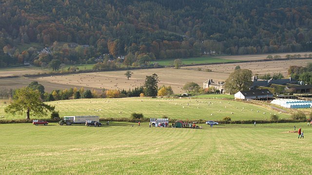
Image: © Richard Webb Taken: 26 Oct 2008
The fields of Rotmell are high and dry above the flood plain of the Tay. Looking over to Dalguise on the west side of the river.
Images are licensed for reuse under creativecommons.org/licenses/by-sa/2.0
Image Location
Latitude
56.602998
Longitude
-3.618109