Cullompton: Hillersdon Wood
Introduction
The photograph on this page of Cullompton: Hillersdon Wood by Martin Bodman as part of the Geograph project.
The Geograph project started in 2005 with the aim of publishing, organising and preserving representative images for every square kilometre of Great Britain, Ireland and the Isle of Man.

There are currently over 7.5m images from over 14,400 individuals and you can help contribute to the project by visiting https://www.geograph.org.uk
Cullompton: Hillersdon Wood
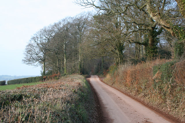
Image: © Martin Bodman Taken: 6 Jan 2006
The western edge of the wood seen from the lane between Bunneford Cross and Birchen Cross. The lane was once part of the Tiverton turnpike network
Images are licensed for reuse under creativecommons.org/licenses/by-sa/2.0
Image Location
Latitude
50.85982
Longitude
-3.447775